A typhoon moving toward northern Philippines may intensify further before making landfall as early as tonight, with heavy rain and strong winds likely to impact some rice and corn crops.
Typhoon Co-may — known locally as Emong — has slowed and is sitting to the west of Dagupan, a small city about three hours drive northwest of the capital Manila, according to an advisory from the national weather agency. The storm was packing top sustained winds of 120 kilometers per hour.
The cyclone may undergo rapid intensification as it moves toward Luzon Island, and potentially reach peak intensity of as high as 185 kilometers per hour, the US Navy’s Joint Typhoon Warning Center said. That would be equivalent to a major Category 3 hurricane on the five-step Saffir-Simpson scale.
Government work and classes in the Philippines will be shut for a fifth straight day on Friday in the capital region and dozens of provinces as heavy rains continue, according to Department of Interior and Local Government.
The Philippines has already racked up 454 million pesos ($8 million) in crop losses from the combined effects of an earlier cyclone, the developing Co-may, another tropical storm to its north, as well as the southwest monsoon, according to data from the agriculture department. The country sees an average of 20 cyclones a year, with eight or nine making landfall.
Last year, a blitz of six powerful storms hit the Philippines within a matter of weeks, sapping economic growth and causing widespread agriculture losses. Rice harvesting started this month and collection of the corn crop typically begins in August, according to the US Foreign Agricultural Service.
The Philippines is the world’s biggest rice importer and any damage to domestic crops could force the nation to seek more supply from overseas.
The outer bands of Co-may are expected to dump rain across a large part of Luzon Island, and the Philippines Civil Aviation Authority has reported a number of domestic and international flight cancellations.
“Every day there are rains, so the soil is saturated,” state weather forecaster Aldczar Aurelio told local radio station DZMM. “It means there’s a high chance of floods and landslides.”
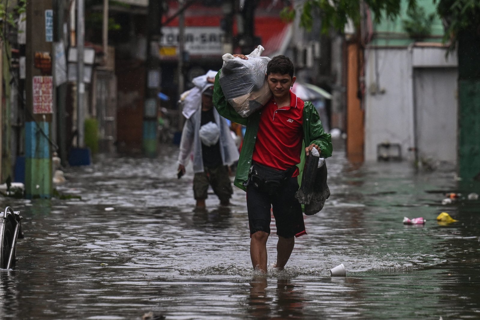
Top photo: Floodwaters in Malabon, metro Manila on July 24. Photographer: Jam Sta Rosa/AFP/Getty Images.
Copyright 2025 Bloomberg.

Want to stay up to date?
Get the latest insurance news
sent straight to your inbox.
Source link